
The North Dakota Geospatial Summit started out as GIS Day in 2001. In 2005 that event turned into the North Dakota GIS Users Conference. Reflecting the dynamic and widening geospatial field but not losing sight of the foundation continuing to be built upon by geospatial professionals, in 2019 the event was renamed to the North Dakota Geospatial Summit.
The North Dakota Geospatial Summit is THE event in North Dakota for you if you can check one or more of these:
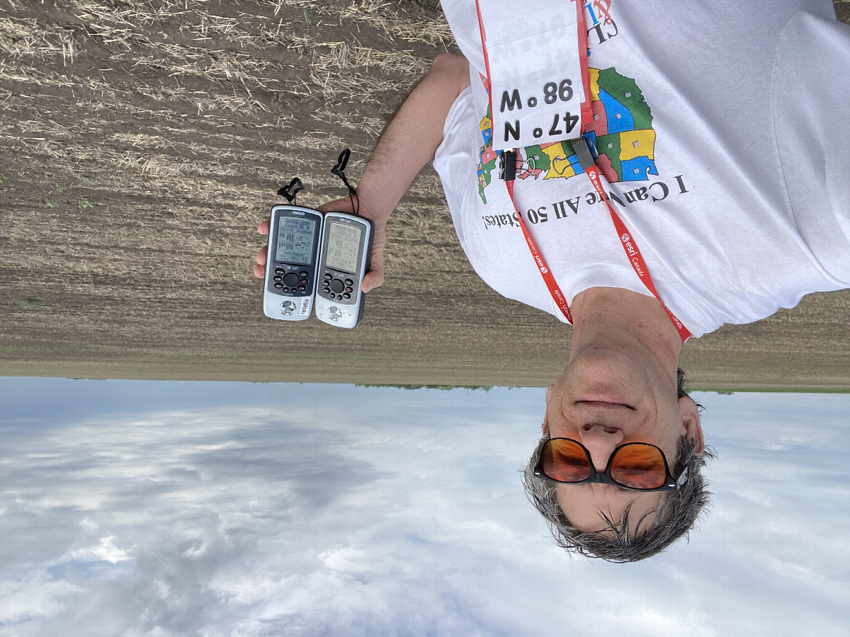
Joseph Kerski is a geographer with a focus on the use of Geographic Information Systems (GIS) in education. He has served as the President of the National Council for Geographic Education and has given 2 TED Talks on “The Whys of Where”.
He holds 3 degrees in geography (BA, MA, PhD) and has served as geographer in 4 major sectors of society, including government (NOAA, US Census Bureau, USGS), academia (University of Minnesota, Harrisburg Area Community College, Penn State University, Sinte Gleska University, University of Denver, others), private industry (as Education Manager for Esri), and nonprofit organizations (with roles in geography and education associations).
Joseph has authored over 100 chapters and articles, and 200 podcasts on GIS, education, space, place, and related topics. He has visited over 350 schools and 400 universities around the world. He regularly conducts professional development for educators. He has created over 6,200 videos, 1,000 lessons, 1,000 blog essays, and authored 12 books, including Interpreting Our World, Spatial Thinking in Environmental Contexts, Essentials of the Environment, Spatial Mathematics, Tribal GIS, International Perspectives on Teaching and Learning, the GIS Guide to Public Domain Data, and others. But as a lifelong learner, he feels as though he’s just getting started and thus actively seeks mentors, partners, and collaborators.
Elaine is a geographer at the USGS. She studied typography in grad school, and was an applied researcher in multi-scale cartography at USGS before becoming The National Map liaison to North and South Dakota.

